

States
Leadership
Resources
Contact Us
News
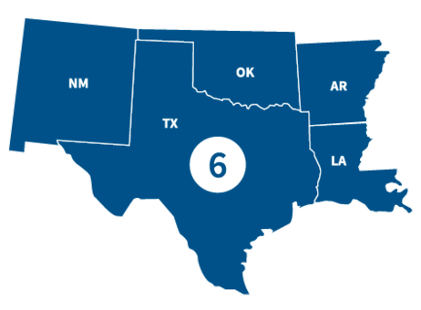
FEMA Region 6 office, located in Denton, TX, partners with federal emergency management for 68 Tribal Nations and the following states.
States
Visit the state's page for localized content, such as disaster recovery centers, flood maps, fact sheets, jobs and other resources.
Leadership

Acting Regional Administrator

Acting Deputy Regional Administrator
Region 6 Resources
Featured Resource
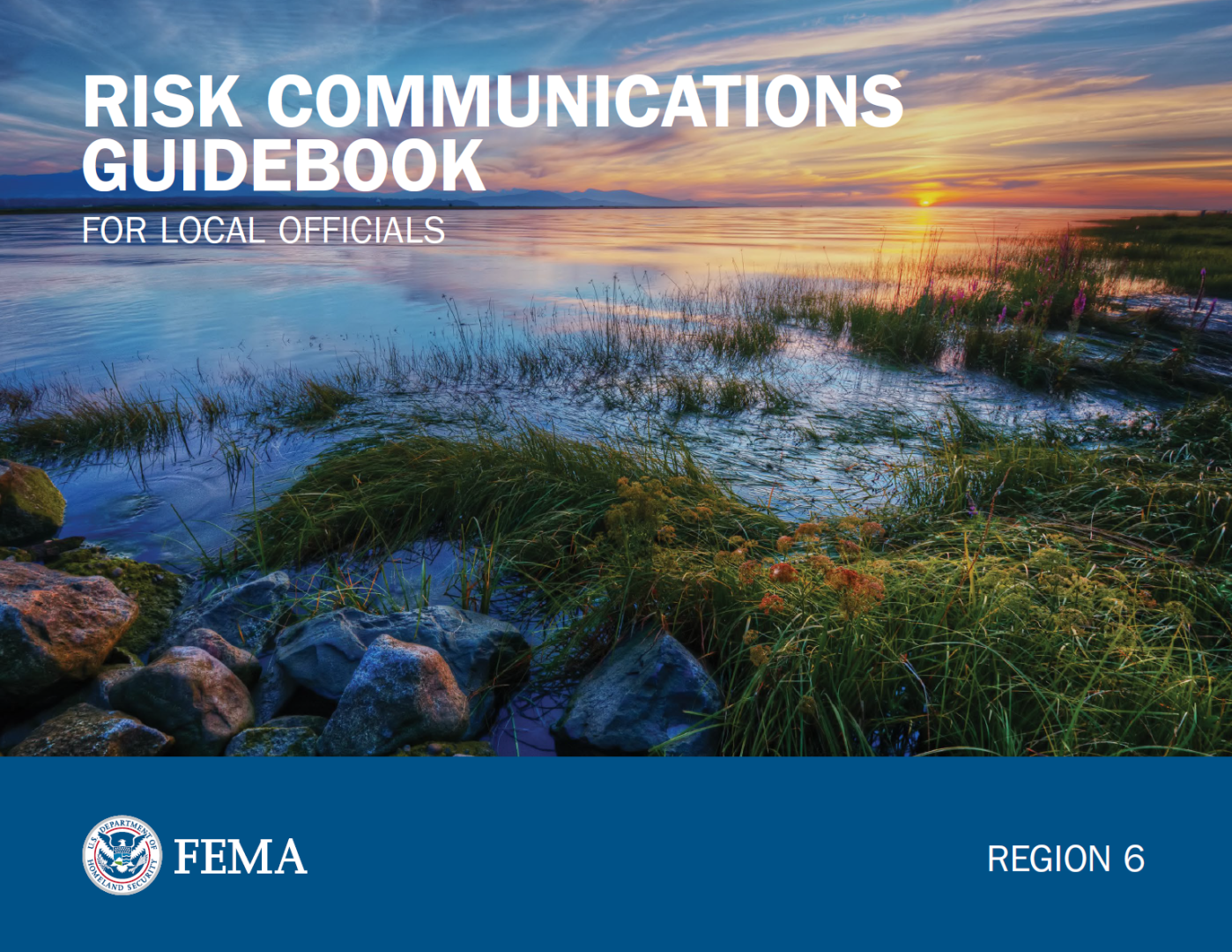
Risk Communications Guidebook for Local Officials
Find customizable templates and additional tools to support your Risk MAP outreach. Download the Resource Matrix for all Guidebook templates.
Get the Guidebook
Use the search filters below to browse content tailored to help Region 6 prepare for, respond to and recover from disasters.
Customize this template to create an informative fact sheet for community stakeholders. It discusses the Post-Preliminary phase of Risk MAP.
Learn how to form a representative stakeholder advisory group. This group can share information and add their input on how to understand and reduce a community’s flood risk.
Customize this template to create a fact sheet for your community’s insurance professionals.
Customize this template to create a fact sheet on Risk MAP for local realty and lending professionals.
Risk Mapping, Assessment and Planning (Risk MAP) is a national FEMA program that works with states, tribes, territories and local communities to evaluate and better understand their current flood risk, as well as the actions that can be taken to mitigate and become more resilient against future risk.
Contact Us
General
940-898-5399
Grants
FEMA-R6-Grants-Inquiry@fema.dhs.gov
Exercise Officer
FEMA-R6-Exercise@fema.dhs.gov
News Desk
940-898-5454
FEMA-R6-NewsDesk@fema.dhs.gov
Technological Hazards
Oscar Martinez
FEMA-R6-REPP@fema.dhs.gov
Tribal Affairs
FEMA-R6-Tribal-Affairs@fema.dhs.gov