

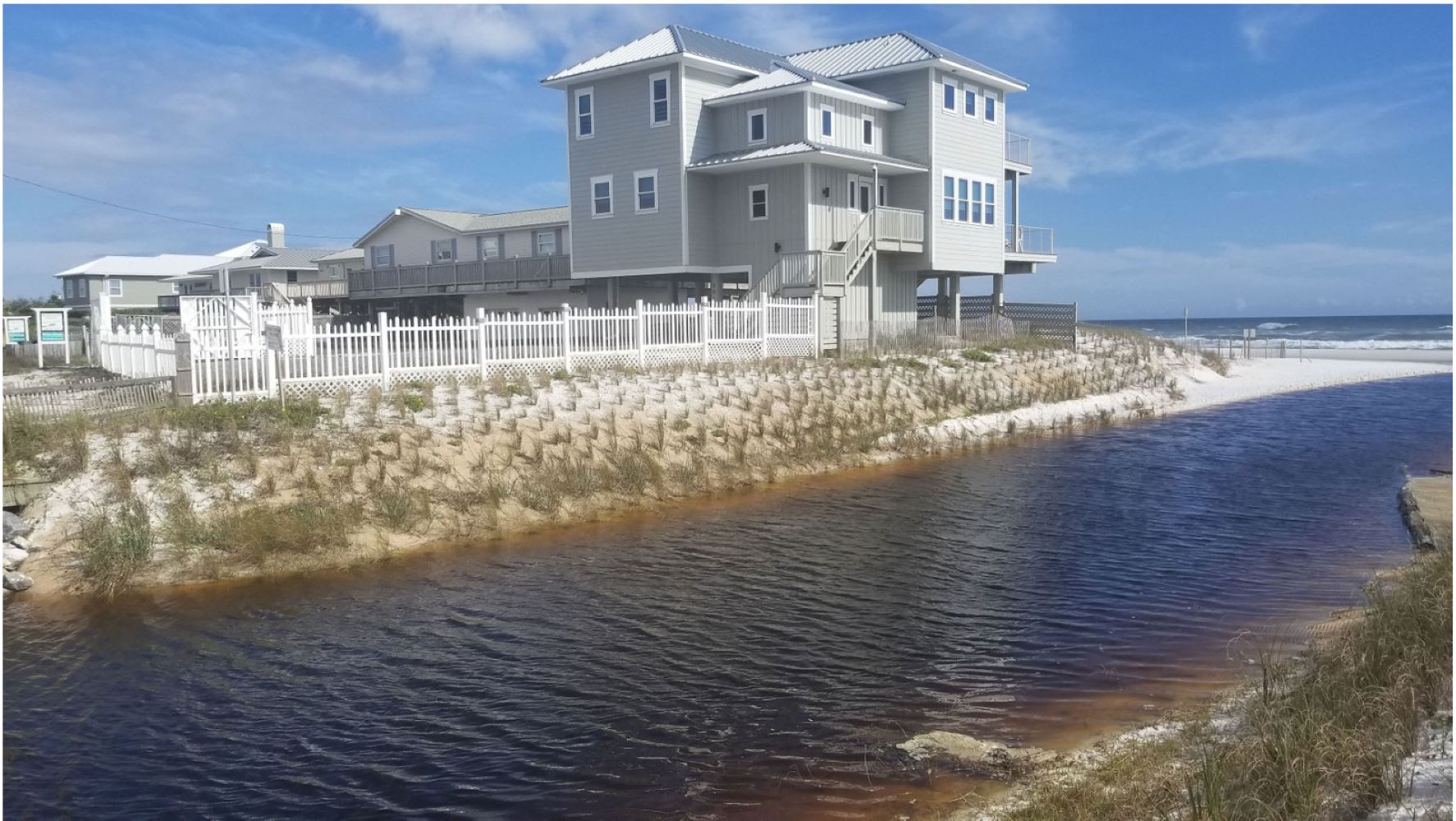
Oyster Lake is a coastal dune lake, which creates a unique interchange between a natural storm water lake and the Gulf of Mexico. When a coastal dune lake reaches a high water level, flow breaks through the dune system forming a channel between the lake and the Gulf. Oyster Lake’s outfall is critical for regulating water levels and mitigating flooding. This outfall became severely degraded over time and the overall health was strained from major storms and urban growth.
Walton County and other state agencies wanted to reinforce the outfall while preserving the natural vegetation. The channel measures 12 feet deep with sides sloped at a gradient of 3 Horizontal: 1 Vertical (3H:1V). Soil in the channel is composed of fine sand. The length of the channel is 500 feet.
More than 2,000 square yards of an Engineered Earth Armoring System (EEAS) consisting of High Performance Turf Reinforcement Mat (HPTRM) and Engineered Earth Anchors (EEA) was installed along the channel. This nature-based solution system was selected because it provides slope stabilization and erosion control while promoting vegetation growth. During installation, 2,000 sea oats were planted within the HPTRM.
Protecting the Existing Ecosystem
The EEAS was selected because it provides resilient and environmentally friendly slope stabilization and erosion control while promoting vegetation growth. An important concern for the project was the impact the reinforcement solution would have on the ecosystem, which is home to several endangered species.
Hurricane Proof
After installation, Hurricane Michael (Category 4) made landfall 60 miles east of Oyster Lake, causing winds up to 80 mph, storm surge, and significant rainfall and flooding at the project location. The vegetated slopes of the outfall withstood the extreme conditions, protecting several homes, Highway 30A, and a bridge.