Graphic
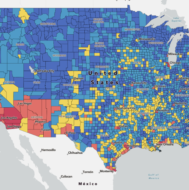

The National Risk Index (NRI) is an online tool to help illustrate the nation's communities most at risk of natural hazards. It incorporates three datasets (SoVI, BRIC, and Expected Annual Loss) to determine an overall risk percentage as well as risk percentages for 18 of the USA's most common natural hazards.
National Risk Index