

This page has not been translated into Kreyòl. Visit the Kreyòl page for resources in that language.
Region 1 Flood Risk Public Open House Meeting
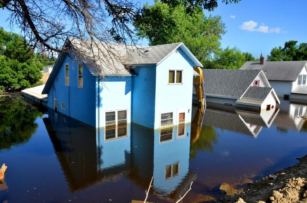
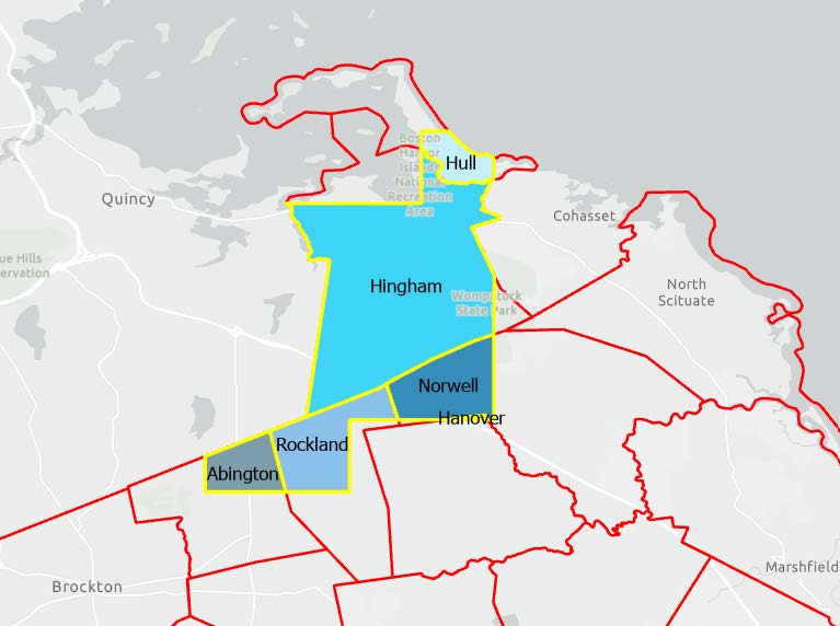
Do You Know Your Flood Risk? Join FEMA, state, and local officials for an opportunity to view the updated flood maps for the Plymouth County Charles River Watershed Floodplain Mapping Study.
Dat: Me 21, 2024
Lè: 8:00 pm - 11:00 pm
Location: Sou plas
Hingham Town Hall - 210 Central Street, Hingham, MA
Detay Evènman an
This is an opportunity to chat one on one with FEMA, State, and Local officials to get assistance with:
- Finding your property on new flood maps
- Understanding your flood risk
- Flood Insurance
There is no formal presentation. You may arrive at any time.
Can’t make it to the meeting?
For more information and to compare current and pending maps, please visit: https://arcg.is/0Hzvqv0
For residents of*/**:
- Abington
- Hingham
- Hull
- Hanover
- Norwell
- Rockland
*Riverine Only. Study does not include any coastal updates
**Note that for some towns only part of the town has updated maps. Please see the yellow line in map above for study area boundary.