
FEMA Media Library

Podcast 108 Graphic

Federal Operating Concept for Impending Space Weather Events
Federal Operating Concept for Impending Space Weather Events
NMFS Oregon Errata R10
Supplemental Environmental Assessment for Desire Area Road Network Infrastructure Recovery Restoration, FEMA-DR-1603-LA, January 2017
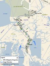
Loss Avoidance Study: Jefferson Parish, LA Map (Figure 1)
West Bank of Jefferson Parish along Barataria Bayou. Shown are HPA Mitigation Properties and Surge direction.


Energy Assessor
NREL Energy Assessor Ian Metzger in Galena. Photo credit: Jimmy Salasovich, NREL.


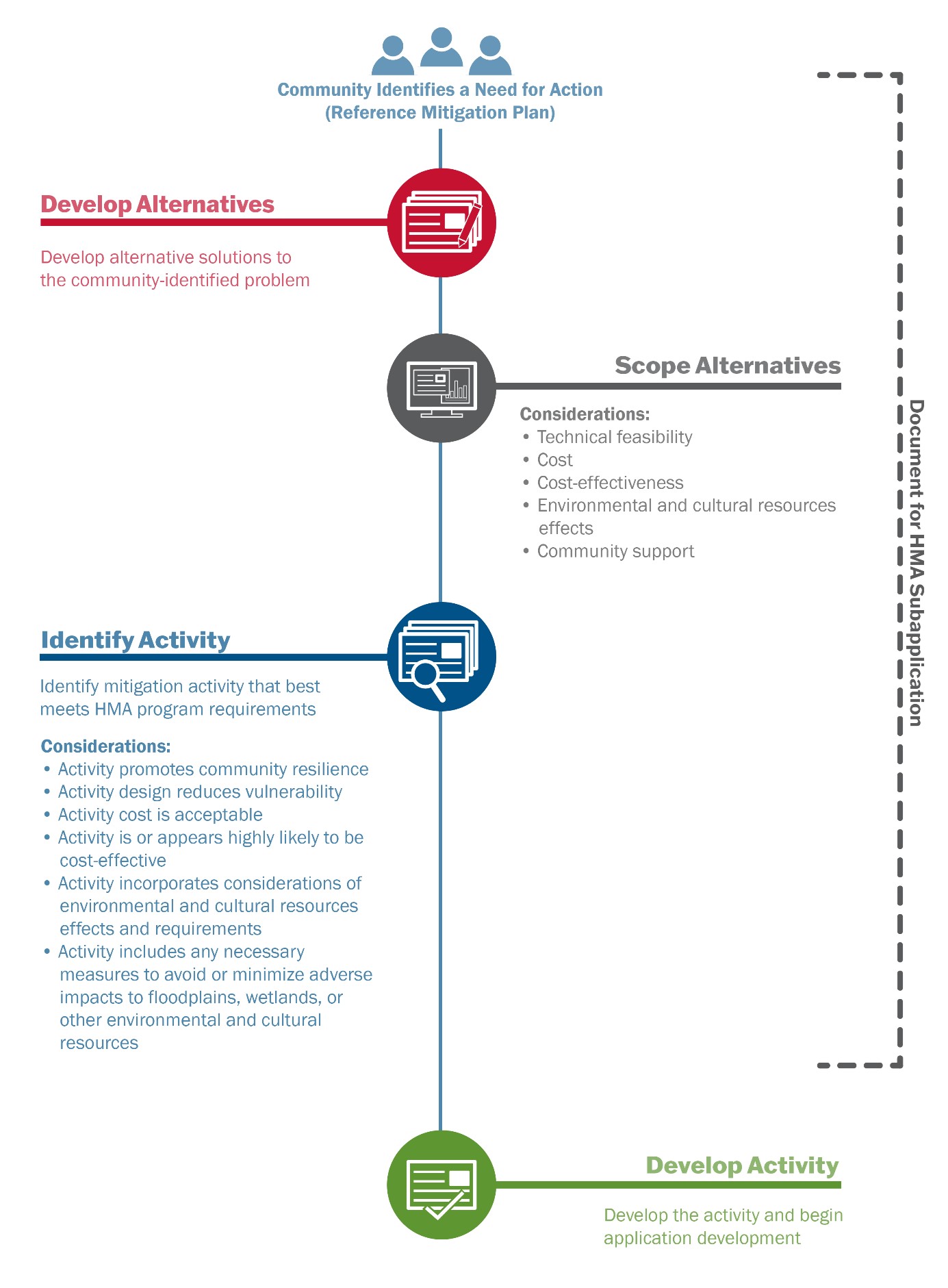
Hazard Mitigation Assistance’s Guidance : Figure 3. Scoping Process
A graphic which describes the consideration during each step of the scoping process, which begins when a community identifies a need for action, then moves on to developing alternatives, scoping alternatives, identifying an activity, and ending when the activity is developed and application development begins.

Victoria Salinas

Comprehensive Preparedness Guide (CPG) 201: Threat and Hazard Identification and Risk Assessment (THIRA) and Stakeholder Preparedness Review (SPR) Guide