

Efforts to establish the identity of the released substance should be complemented by investigations to identify and characterize the source, size, and site of the release. Once the site of the chemical release is identified, a preliminary site assessment is performed to determine if further action is necessary. During the initial site assessment, information is gathered on site conditions, release parameters, potential additional releases, and potential exposure pathways to determine whether a cleanup may be needed and to identify areas of potential concern.
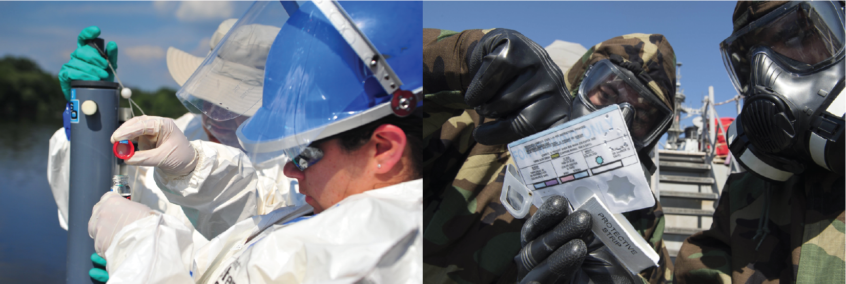
Hazardous Waste Operations and Emergency Response (HAZWOPER) standards require that a preliminary evaluation of the site’s characteristics be performed prior to site entry by responders. This evaluation should be used to determine proper type and level of personal protective equipment (PPE) to be used during initial site entry. A more detailed evaluation should follow that aids in the selection of appropriate engineering controls and PPE for future site activities. These early evaluations should assess all conditions that are suspected to be immediately dangerous to life or health (IDLH) or that may otherwise cause serious harm to responders/response workers (e.g., confined space entry, potentially explosive or flammable situations, visible vapor clouds, etc.).29
As available, these evaluations should describe:
- Site size and location
- Site accessibility by air and roads
- Hazardous substances involved and their chemical and physical properties
- Detailed description of the activity that occurred at the site and duration of the activity
- The present status and capabilities of emergency response teams
- The potential for lingering hazards
- Site terrain and topography (from historical and current site maps, site photographs, aerial photographs, U.S. Geological Survey topographic quadrangle maps, land use maps, and land cover maps)
- Previous surveying (including soil, ground-penetrating radar, and magnetometer surveys), sampling, and monitoring data
- Pathways for hazardous substances dispersion, including geologic and hydrologic data
- Meteorological data (current weather and forecast, prevailing wind direction, precipitation levels, temperature profiles.
- The location of nearby population centers, and the population at risk
- Site perimeter ambient air monitoring for toxic substances, combustible and flammable gases or vapors, oxygen deficiency, specific materials (if known), and unusual odors
- Site perimeter collection and analysis of samples from soil, drinking water, ground water, site run-off, and surface water
Field measurements must follow a sampling plan that considers the specificity and sensitivity of the field equipment used for the substance released, as well as toxic concentration levels. Exposure data provide additional temporal and spatial information. Computer-generated contamination plume maps such as those generated by the Hazard Prediction & Assessment Capability (HPAC) can estimate airborne chemical concentration levels given relevant information such as outdoor temperature, humidity, and wind speed and direction. (Refer to the Planning, Decision Support, and Modeling Resources for Chemical Incidents section of this document for information on local use of HPAC.)
Assessment of lingering hazards at the release site is necessary for a full understanding of the risks posed by the chemical incident. Lingering hazards can be present after the initial toxic plume (in air or water) has passed. They can arise from entrapped or on-going, low-level leak sources or through a second major release. For example, after a railcar accident, some of the chemical may remain pooled at the accident site. Enclosed or low-lying areas can trap portions of a toxic vapor or liquid that can cause exposures at a later time. Lingering hazards can also arise from physical damage caused by the incident that may lead to fires, structural damage to buildings, and the release of other chemicals.
Together, the collected information will support situational awareness and an understanding of critical details regarding the release site, the extent of contamination, and the potential for further contamination spread. Particular attention should be paid to key pieces of information, such as the potential for the released substance to enter drinking water systems, and weather patterns that could drive the substance’s further dispersal through air or water. The physicochemical characteristics of the substance can also play an important role in dispersal. The dispersal of gases, for example, will vary substantially with their density; this knowledge informs situational awareness and understanding of potential for contamination spread. The extent of contamination can be determined by combining field measurement, exposure, and modeling data (see below) to define contaminated versus non-contaminated areas, as well as the concentrations of chemical substances present in the contaminated areas. The resulting knowledge is crucial for both environmental and public health response and recovery as it informs specific actions needed across the affected area. If the information gathered points to an immediate threat to human, animal, or environmental health, contaminant removal or short-term cleanup actions may be conducted, and plans for long-term actions initiated.
A successful site investigation will identify the presence, movement, fate, and risks associated with environmental contamination at the site and will elucidate the chemical and physical properties of the site likely to influence contamination migration and cleanup. The investigation also will enable the tailoring of protective measures to the actual hazards to responders/workers, affected populations, and surrounding environment, and should lead to the implementation of safer and more efficient response and recovery efforts. In relation to other KPFs in this document, the data gathered via site characterization activities will help determine the up-to-date geographic extent of contamination and can inform decontamination and evacuation decisions, as well as resource allocation for survivor treatment (see KPF 4, Control the Spread of Contamination, and KPF 6, Augment Provision of Health and Medical Services to the Affected Population).
In the ever-changing environment of an unfolding chemical incident, all collected information, including the delineated contamination zones, must be validated and updated throughout the response and recovery. As time and ongoing remediation activities proceed, site conditions, including weather, will change. Data obtained during initial surveys can be used to develop a plan for the continued monitoring of ambient conditions throughout cleanup operations. Based on this plan, preliminary situational assessments should be iteratively refined as comprehensive data collection efforts continue. Keeping communication lines open will help ensure that updated incident assessment information, including any predictive outputs from modeling or other response tools, are quickly shared with response partners and decision-makers.
Footnotes
29. Federal Bureau of Investigation. (2018). Joint Criminal-Epidemiologic Investigations Handbook. Centers for Disease Control.