
FEMA Media Library
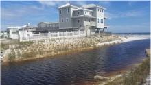
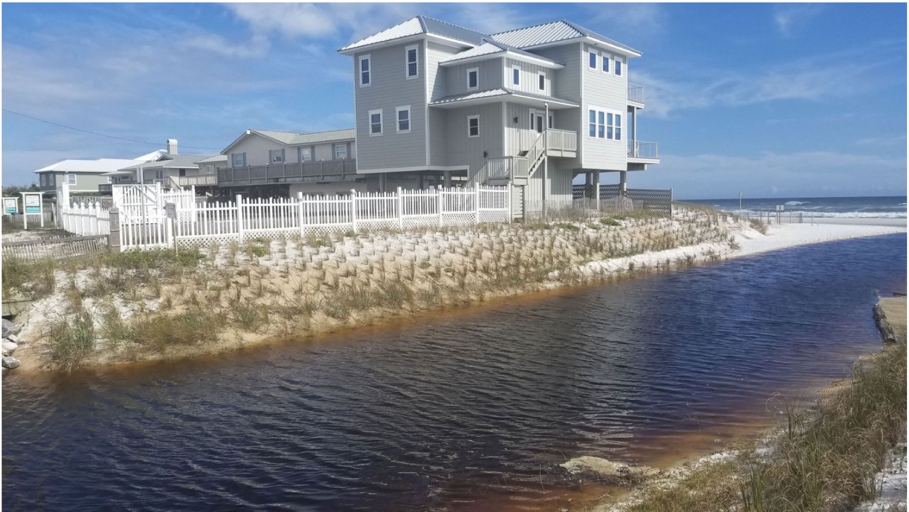
Oyster Lake Dune NBS

Three ways to apply DR-4605 news release graphic


Homepage Illustrations - Ambulance in Snow


AmeriCorps - Joshua Herron


Employee badge for Covid-19 homepage


Tracking map with a pin


Dawson Springs Kentucky December Tornadoes

State Capability Assessment - Region 3
Notice of Availability for Public Review - Programmatic Environmental Assessment - Wildfire Mitigation Projects in the State of Utah
Emergency Operations Center Toolkit
Toolkit documents cover topics such as hazard vulnerability assessments, physical site selection, mitigation considerations, capabilities and requirements, information management systems, as well as training and exercises.